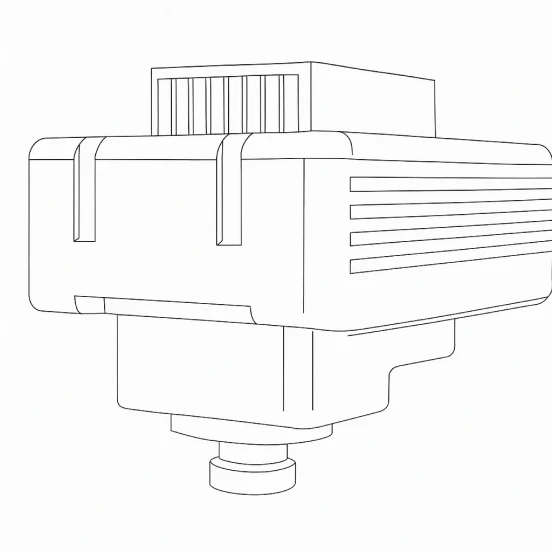


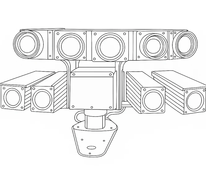
ESEN Land-based Wide Area Surveillance System (Matris - L), which is a wide-area motion imagery (WAMI) solution, provides persistent overall surveillance from fixed ground platforms.

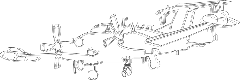
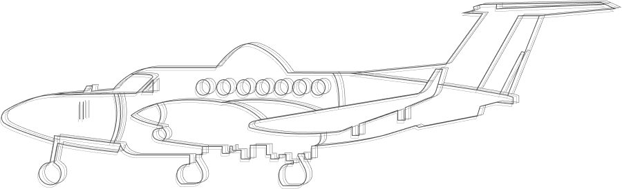
With the purpose of developing innovative avionics systems, pioneer solutions are developed for aerospace applications. Traffic and Terrain Collision Avoidance System (TACOS), Wide-Area Surveillance System (WAS) and Terrain following navigation systems co


|
|
EO |
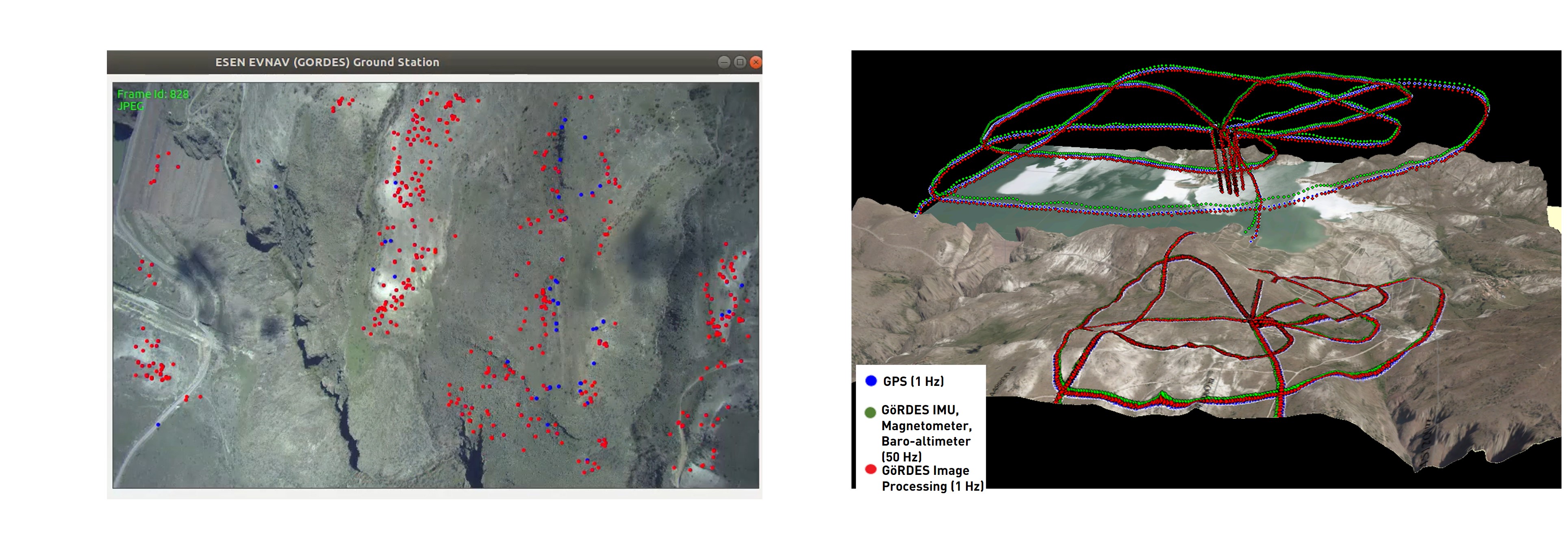
| Navigation Data | Position, Velocity, Attitude (1-10 Hz) |
| Operational Altitude | 500 ft - 30.000 ft AGL (Absolute position, attitude)
0 ft - 30.000 ft AGL (Velocity) |
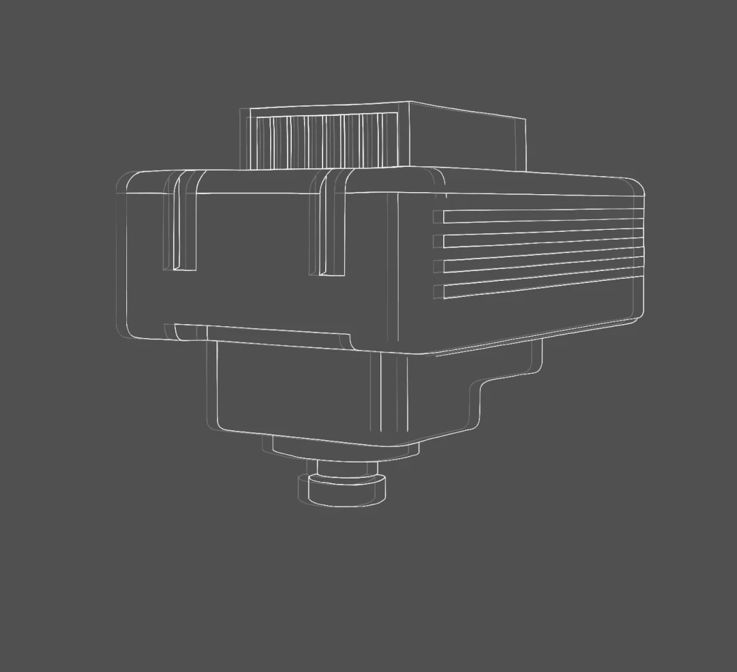
| Weight | GöRDES-S (300 g - 600 g)
GöRDES-T (2 kg - 4 kg) |